How to Create Image Maps in Photoshop CS3?

S
Posted By
Ste
Jul 18, 2007
Views
441
Replies
3
Status
Closed
Hi there,

I’ve got a graphic in Photoshop CS3 Extended that is a map of the UK, split into regions. I’d like to use this to create an image map for a web page, for hovering over certain regions.

I’ve got the main blank map, then a layer for each coloured region.

How can I achieve this in Photoshop? I just need to get all the coordinates for each of the regions. I know you can do it manually, but there’s so many points it would be tedious and prone to error.

Thanks for any advice,

Ste

MacBook Pro 16” Mockups 🔥

– in 4 materials (clay versions included)
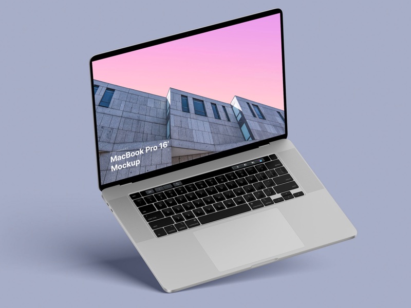
– 12 scenes

– 48 MacBook Pro 16″ mockups

– 6000 x 4500 px

I
Infinitech
Jul 19, 2007
Ste wrote:
Hi there,

I’ve got a graphic in Photoshop CS3 Extended that is a map of the UK, split into regions. I’d like to use this to create an image map for a web page, for hovering over certain regions.

I’ve got the main blank map, then a layer for each coloured region.
How can I achieve this in Photoshop? I just need to get all the coordinates for each of the regions. I know you can do it manually, but there’s so many points it would be tedious and prone to error.
Thanks for any advice,

Ste

Try the "New layer based slice" in the Layers menu which transforms every layer in a new slice
HTH


Infinitech
desperate for a job in UK!
B
Bubba
Jul 19, 2007
"Infinitech" wrote in message
Ste wrote:
Hi there,

I’ve got a graphic in Photoshop CS3 Extended that is a map of the UK, split into regions. I’d like to use this to create an image map for a web page, for hovering over certain regions.

I’ve got the main blank map, then a layer for each coloured region.
How can I achieve this in Photoshop? I just need to get all the coordinates for each of the regions. I know you can do it manually, but there’s so many points it would be tedious and prone to error.
Thanks for any advice,

Ste

Try the "New layer based slice" in the Layers menu which transforms every layer in a new slice
HTH

Once I’ve done that, how can I get the coordinates for the different slices?

Thanks

Ste
E
eRIZ
Jul 23, 2007
Ste pisze:
Hi there,

I’ve got a graphic in Photoshop CS3 Extended that is a map of the UK, split into regions. I’d like to use this to create an image map for a web page, for hovering over certain regions.

I’ve got the main blank map, then a layer for each coloured region.
How can I achieve this in Photoshop? I just need to get all the coordinates for each of the regions. I know you can do it manually, but there’s so many points it would be tedious and prone to error.
Thanks for any advice,

Ste

May would you try this?
http://riddle.pl/mappet/

An external tool for image maps creation (XHTML friendly).

Must-have mockup pack for every graphic designer 🔥🔥🔥

Easy-to-use drag-n-drop Photoshop scene creator with more than 2800 items.

Related Discussion Topics

Nice and short text about related topics in discussion sections